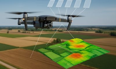
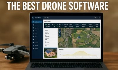
5 Best Thermal Drone Software Platforms for 2025 Thermal drone software is essential for transforming raw infrared imagery into actionable data. Whether you’re conducting rooftop heat-loss inspections,...
How to Build a Custom Drone Software Stack with Open-Source and Low-Code Tools Most drone operators rely on commercial platforms for flight planning, data capture, and...
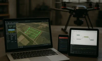
Why Drone Software Is Essential in 2025 Drone software has become the foundation of modern UAV operations. Whether you’re surveying land, inspecting infrastructure, or managing a...
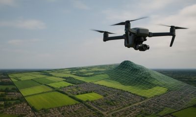
Drone mapping software has changed the way professionals capture and use geospatial data. By combining drone imagery with advanced processing tools, you can quickly generate accurate...
Drone mapping in 2025 is defined by faster reconstruction, better LiDAR workflows, and tighter ops integrations. If you need robust mission planning and repeatable survey accuracy,...
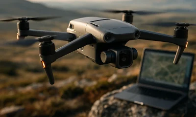
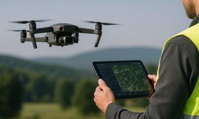
When every meter counts and compliance is non-negotiable, reliable flight planning software becomes essential for drone operators. Whether you’re a solo pilot surveying farmland or managing...
Managing drone operations – from mission planning and data capture to compliance and analysis – is now a critical need for freelance pilots and enterprise fleets...